
Thank you for supporting this site ❤️
Make a donation
Make a donation
Little Staughton topographic map
Click on the map to display elevation.
Thank you for supporting this site ❤️
Make a donation
Make a donation
About this map
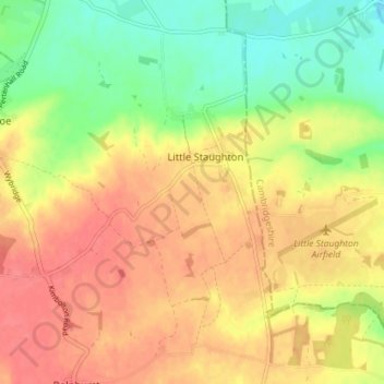
Name: Little Staughton topographic map, elevation, terrain.
Location: Little Staughton, Bedford, England, United Kingdom (52.22549 -0.41330 52.26914 -0.37337)
Average elevation: 58 m
Minimum elevation: 25 m
Maximum elevation: 82 m
Thank you for supporting this site ❤️
Make a donation
Make a donation