
Kampung Buloh Lima topographic map
Interactive map
Click on the map to display elevation.
About this map
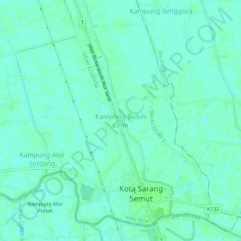
Name: Kampung Buloh Lima topographic map, elevation, terrain.
Location: Kampung Buloh Lima, Kota Setar, Kedah, 06800, Malaysia (5.96729 100.37560 6.00729 100.41560)
Average elevation: 4 m
Minimum elevation: 0 m
Maximum elevation: 7 m