
Thank you for supporting this site ❤️
Make a donation
Make a donation
La Chorrera topographic map
Click on the map to display elevation.
Thank you for supporting this site ❤️
Make a donation
Make a donation
About this map
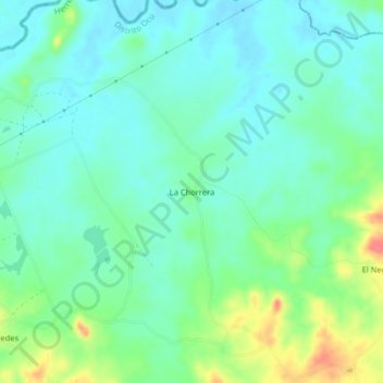
Name: La Chorrera topographic map, elevation, terrain.
Location: La Chorrera, Distrito Ocú, Herrera, Panamá (8.02929 -80.84667 8.06929 -80.80667)
Average elevation: 51 m
Minimum elevation: 32 m
Maximum elevation: 99 m
Thank you for supporting this site ❤️
Make a donation
Make a donation