
Thank you for supporting this site ❤️
Make a donation
Make a donation
Tanjung Gadang topographic map
Click on the map to display elevation.
Thank you for supporting this site ❤️
Make a donation
Make a donation
About this map
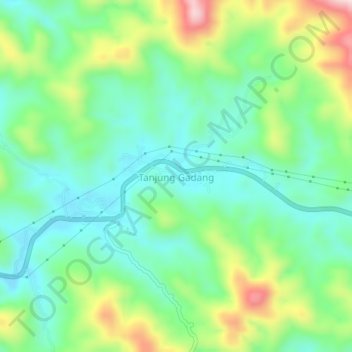
Name: Tanjung Gadang topographic map, elevation, terrain.
Location: Tanjung Gadang, Sijunjung, West Sumatra, Sumatra, Indonesia (-0.78667 101.09385 -0.74667 101.13385)
Average elevation: 449 m
Minimum elevation: 344 m
Maximum elevation: 676 m
Thank you for supporting this site ❤️
Make a donation
Make a donation