
Baldingen topographic map
Interactive map
Click on the map to display elevation.
About this map
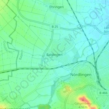
Name: Baldingen topographic map, elevation, terrain.
Location: Baldingen, Nördlingen, Danube-Ries, Bavière, 86720, Allemagne (48.83898 10.45380 48.87898 10.49380)
Average elevation: 434 m
Minimum elevation: 421 m
Maximum elevation: 478 m