
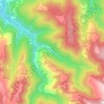
Os Teixóis topographic map
Interactive map
Click on the map to display elevation.
About this map
Name: Os Teixóis topographic map, elevation, terrain.
Location: Os Teixóis, Taramundi, Asturias, 33775, España (43.32122 -7.09951 43.36122 -7.05951)
Average elevation: 540 m
Minimum elevation: 181 m
Maximum elevation: 848 m