
Thank you for supporting this site ❤️
Make a donation
Make a donation
Outland topographic map
Click on the map to display elevation.
Thank you for supporting this site ❤️
Make a donation
Make a donation
About this map
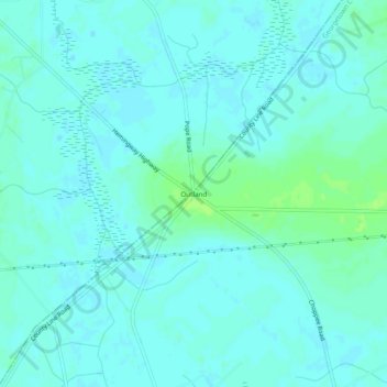
Name: Outland topographic map, elevation, terrain.
Location: Outland, Georgetown County, South Carolina, United States (33.70683 -79.39255 33.74683 -79.35255)
Average elevation: 14 m
Minimum elevation: 11 m
Maximum elevation: 21 m
Thank you for supporting this site ❤️
Make a donation
Make a donation
Other topographic maps
Click on a map to view its topography, its elevation and its terrain.
Huntington Beach
United States > South Carolina > Georgetown County > North Litchfield Beach
Average elevation: 0 m
Thank you for supporting this site ❤️
Make a donation
Make a donation