
Sungai Layar topographic map
Interactive map
Click on the map to display elevation.
About this map
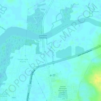
Name: Sungai Layar topographic map, elevation, terrain.
Location: Sungai Layar, Sungai Petani, K Muda, Kedah, Malaysia (5.67544 100.46961 5.68316 100.47168)
Average elevation: 4 m
Minimum elevation: -1 m
Maximum elevation: 23 m
Other topographic maps
Click on a map to view its topography, its elevation and its terrain.
Sungai Layar Hujung
Malaysia > Kedah > Sungai Petani
Sungai Layar Hujung, Sungai Petani, Kuala Muda, Kedah, Malaysia
Average elevation: 4 m
Gunung Jerai
Malaysia > Kedah > Sungai Petani
Gunung Jerai, Kuala Muda, Kedah, Malaysia
Average elevation: 800 m