
Heeten topographic map
Interactive map
Click on the map to display elevation.
About this map
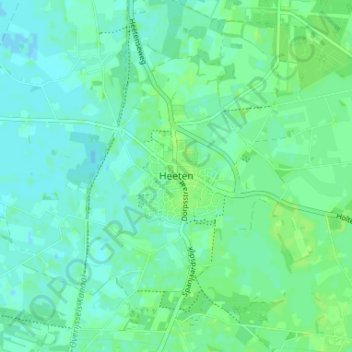
Name: Heeten topographic map, elevation, terrain.
Location: Heeten, Overijssel, Nederland, 8111, Nederland (52.31263 6.26115 52.35263 6.30115)
Average elevation: 8 m
Minimum elevation: 4 m
Maximum elevation: 12 m
Other topographic maps
Click on a map to view its topography, its elevation and its terrain.
De Hooge Wegen
Nederland > Overijssel > Heeten
De Hooge Wegen, Heeten, Raalte, Overijssel, Nederland, 8111 NN, Nederland
Average elevation: 8 m