
Thank you for supporting this site ❤️
Make a donation
Make a donation
Beehive topographic map
Click on the map to display elevation.
Thank you for supporting this site ❤️
Make a donation
Make a donation
About this map
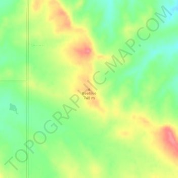
Name: Beehive topographic map, elevation, terrain.
Location: Beehive, Wibaux County, Montana, United States (47.30941 -104.22165 47.30951 -104.22155)
Average elevation: 723 m
Minimum elevation: 685 m
Maximum elevation: 768 m
Thank you for supporting this site ❤️
Make a donation
Make a donation