
Thank you for supporting this site ❤️
Make a donation
Make a donation
Yasawa Islands topographic map
Click on the map to display elevation.
Thank you for supporting this site ❤️
Make a donation
Make a donation
About this map
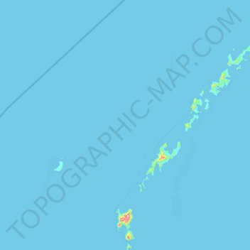
Name: Yasawa Islands topographic map, elevation, terrain.
Location: Yasawa Islands, Western, Fiji (-17.38003 176.90977 -16.65354 177.59402)
Average elevation: 1 m
Minimum elevation: 0 m
Maximum elevation: 486 m
Thank you for supporting this site ❤️
Make a donation
Make a donation
Other topographic maps
Click on a map to view its topography, its elevation and its terrain.