
Saint-Saphorin-sur-Morges topographic map
Interactive map
Click on the map to display elevation.
About this map
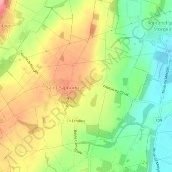
Name: Saint-Saphorin-sur-Morges topographic map, elevation, terrain.
Average elevation: 494 m
Minimum elevation: 436 m
Maximum elevation: 558 m