
Thank you for supporting this site ❤️
Make a donation
Make a donation
Taway topographic map
Click on the map to display elevation.
Thank you for supporting this site ❤️
Make a donation
Make a donation
About this map
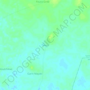
Name: Taway topographic map, elevation, terrain.
Location: Taway, Tanout, Zinder, Niger (14.26718 8.90269 14.30718 8.94269)
Average elevation: 464 m
Minimum elevation: 459 m
Maximum elevation: 472 m
Thank you for supporting this site ❤️
Make a donation
Make a donation