
Barangajuli topographic map
Click on the map to display elevation.
About this map
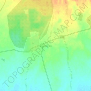
Name: Barangajuli topographic map, elevation, terrain.
Location: Barangajuli, Harisinga, Udalguri, Assam, 784526, India (26.71874 91.79345 26.75874 91.83345)
Average elevation: 117 m
Minimum elevation: 101 m
Maximum elevation: 136 m