
St. Johann topographic map
Interactive map
Click on the map to display elevation.
About this map
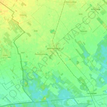
Name: St. Johann topographic map, elevation, terrain.
Average elevation: 117 m
Minimum elevation: 108 m
Maximum elevation: 128 m
Other topographic maps
Click on a map to view its topography, its elevation and its terrain.
Ödenburg
Ungarn > Komitat Győr-Moson-Sopron
Ödenburg, Kreis Ödenburg, Komitat Győr-Moson-Sopron, Westtransdanubien, Transdanubien, Ungarn
Average elevation: 216 m