
Ferrara topographic map
Interactive map
Click on the map to display elevation.
About this map
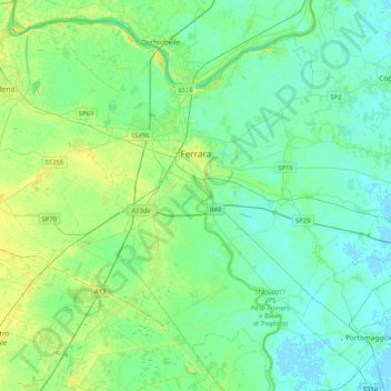
Name: Ferrara topographic map, elevation, terrain.
Location: Ferrara, Emilia-Romagna, Itália (44.67343 11.46306 44.93771 11.87702)
Average elevation: 6 m
Minimum elevation: -3 m
Maximum elevation: 20 m