
Thank you for supporting this site ❤️
Make a donation
Make a donation
High Peak topographic map
Click on the map to display elevation.
Thank you for supporting this site ❤️
Make a donation
Make a donation
About this map
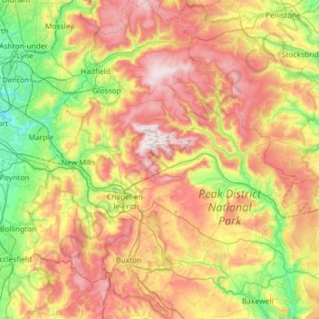
Name: High Peak topographic map, elevation, terrain.
Location: High Peak, Derbyshire, East Midlands, England, United Kingdom (53.19468 -2.03410 53.54045 -1.65382)
Average elevation: 303 m
Minimum elevation: 49 m
Maximum elevation: 637 m
Thank you for supporting this site ❤️
Make a donation
Make a donation