
Thank you for supporting this site ❤️
Make a donation
Make a donation
Elverdinge topographic map
Click on the map to display elevation.
Thank you for supporting this site ❤️
Make a donation
Make a donation
About this map
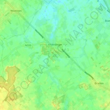
Name: Elverdinge topographic map, elevation, terrain.
Location: Elverdinge, Ypres, Flandre-Occidentale, 8906, Belgique (50.85736 2.76890 50.90517 2.83931)
Average elevation: 14 m
Minimum elevation: 5 m
Maximum elevation: 26 m
Thank you for supporting this site ❤️
Make a donation
Make a donation