
Pashul topographic map
Click on the map to display elevation.
About this map
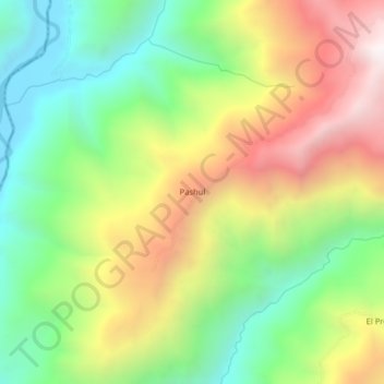
Name: Pashul topographic map, elevation, terrain.
Location: Pashul, Sallique, Jaén, Cajamarca, Perú (-5.63840 -79.37657 -5.59840 -79.33657)
Average elevation: 1,889 m
Minimum elevation: 1,332 m
Maximum elevation: 2,640 m