
Dandy topographic map
Click on the map to display elevation.
About this map
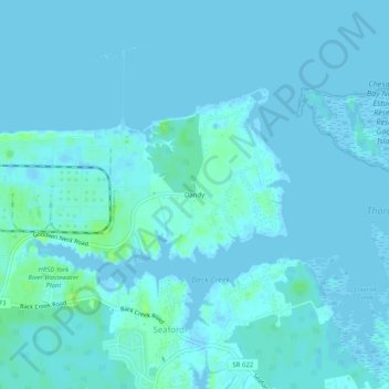
Name: Dandy topographic map, elevation, terrain.
Location: Dandy, York County, Virginia, 23696, United States (37.19209 -76.44967 37.23209 -76.40967)
Average elevation: 2 m
Minimum elevation: -2 m
Maximum elevation: 11 m
Other topographic maps
Click on a map to view its topography, its elevation and its terrain.