
Thank you for supporting this site ❤️
Make a donation
Make a donation
Oakleaf topographic map
Click on the map to display elevation.
Thank you for supporting this site ❤️
Make a donation
Make a donation
About this map
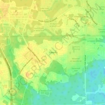
Name: Oakleaf topographic map, elevation, terrain.
Location: Oakleaf, Clay County, Florida, 32222, United States (30.16270 -81.83294 30.20270 -81.79294)
Average elevation: 18 m
Minimum elevation: 2 m
Maximum elevation: 27 m
Thank you for supporting this site ❤️
Make a donation
Make a donation