
Katanning topographic map
Click on the map to display elevation.
Katanning
Katanning railway station has an elevation of 1,024 feet (312 m) above sea level and a rail distance of 225 miles (362 km) from Perth.
About this map
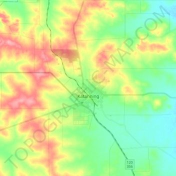
Name: Katanning topographic map, elevation, terrain.
Average elevation: 323 m
Minimum elevation: 284 m
Maximum elevation: 379 m