
Bishoftu topographic map
Interactive map
Click on the map to display elevation.
About this map
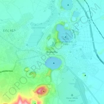
Name: Bishoftu topographic map, elevation, terrain.
Location: Bishoftu, East Shewa, Oromia, 1034, Etiopía (8.71000 38.94173 8.79000 39.02173)
Average elevation: 1,919 m
Minimum elevation: 1,854 m
Maximum elevation: 2,301 m
Other topographic maps
Click on a map to view its topography, its elevation and its terrain.