
Raduha topographic map
Interactive map
Click on the map to display elevation.
About this map
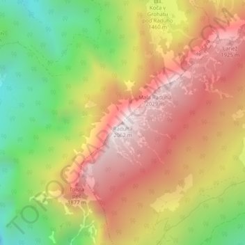
Name: Raduha topographic map, elevation, terrain.
Location: Raduha, Luče, Slowenien (46.40981 14.73763 46.40991 14.73773)
Average elevation: 1,494 m
Minimum elevation: 867 m
Maximum elevation: 2,045 m