
Thank you for supporting this site ❤️
Make a donation
Make a donation
La Angostura topographic map
Click on the map to display elevation.
Thank you for supporting this site ❤️
Make a donation
Make a donation
About this map
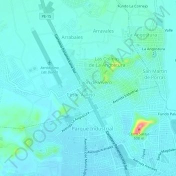
Name: La Angostura topographic map, elevation, terrain.
Location: La Angostura, Subtanjalla, Ica, 11001, Perú (-14.06214 -75.77069 -14.02214 -75.73069)
Average elevation: 418 m
Minimum elevation: 404 m
Maximum elevation: 518 m
Thank you for supporting this site ❤️
Make a donation
Make a donation