
Thank you for supporting this site ❤️
Make a donation
Make a donation
Heeg topographic map
Click on the map to display elevation.
Thank you for supporting this site ❤️
Make a donation
Make a donation
Heeg
Deze plaatsnaam zou duiden op bij een bosje of haag (haga) gelegen kerk. Er wordt ook gesteld dat het duidt op een hoogte waarop de kerk was gelegen, van het Oudfriese woord hag. Waarom dan vanaf de 14e eeuw de duiding kerk is verdwenen is onbekend. Het werd namelijk in 1389 kortweg vermeld als Haghe.
Thank you for supporting this site ❤️
Make a donation
Make a donation
About this map
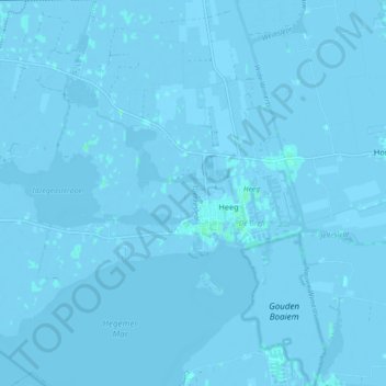
Name: Heeg topographic map, elevation, terrain.
Location: Heeg, Súdwest-Fryslân, Friesland, Nederland (52.94553 5.55294 53.00018 5.63144)
Average elevation: -1 m
Minimum elevation: -6 m
Maximum elevation: 4 m
Thank you for supporting this site ❤️
Make a donation
Make a donation