
Welkenraat topographic map
Interactive map
Click on the map to display elevation.
About this map
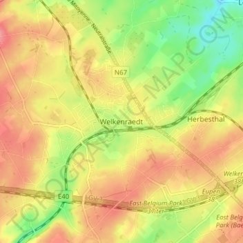
Name: Welkenraat topographic map, elevation, terrain.
Location: Welkenraat, Verviers, Luik, Wallonië, 4840, België (50.64078 5.95328 50.68078 5.99328)
Average elevation: 263 m
Minimum elevation: 219 m
Maximum elevation: 297 m