
Albenga topographic map
Interactive map
Click on the map to display elevation.
About this map
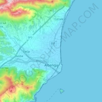
Name: Albenga topographic map, elevation, terrain.
Location: Albenga, Savona, Ligurien, 17031, Italien (44.02287 8.09942 44.10121 8.22985)
Average elevation: 85 m
Minimum elevation: -1 m
Maximum elevation: 761 m