
Önet topographic map
Interactive map
Click on the map to display elevation.
About this map
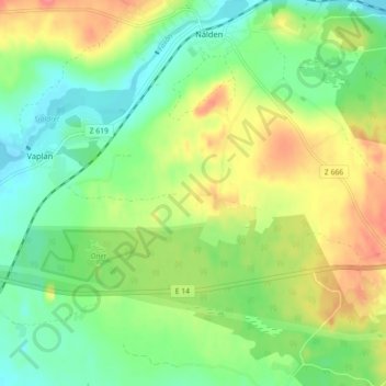
Name: Önet topographic map, elevation, terrain.
Location: Önet, Krokoms kommun, Comté de Jämtland, Suède (63.31160 14.23051 63.35160 14.27051)
Average elevation: 324 m
Minimum elevation: 297 m
Maximum elevation: 363 m