
Skallingen topographic map
Interactive map
Click on the map to display elevation.
About this map
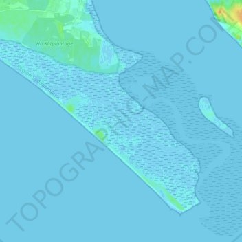
Name: Skallingen topographic map, elevation, terrain.
Location: Skallingen, Blavand-Oksby, Varde Kommune, Dänemark (55.47611 8.15198 55.54482 8.30689)
Average elevation: 1 m
Minimum elevation: -3 m
Maximum elevation: 25 m