
Thank you for supporting this site ❤️
Make a donation
Make a donation
Hot Springs topographic map
Click on the map to display elevation.
Thank you for supporting this site ❤️
Make a donation
Make a donation
About this map
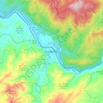
Name: Hot Springs topographic map, elevation, terrain.
Location: Hot Springs, Madison County, North Carolina, United States (35.85233 -82.86903 35.93233 -82.78903)
Average elevation: 641 m
Minimum elevation: 385 m
Maximum elevation: 1,101 m
Thank you for supporting this site ❤️
Make a donation
Make a donation