
Thank you for supporting this site ❤️
Make a donation
Make a donation
Russellville topographic map
Click on the map to display elevation.
Thank you for supporting this site ❤️
Make a donation
Make a donation
About this map
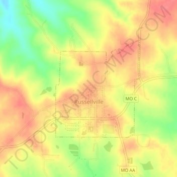
Name: Russellville topographic map, elevation, terrain.
Location: Russellville, Cole County, Missouri, United States (38.50627 -92.44667 38.52116 -92.43014)
Average elevation: 256 m
Minimum elevation: 215 m
Maximum elevation: 282 m
Thank you for supporting this site ❤️
Make a donation
Make a donation
Other topographic maps
Click on a map to view its topography, its elevation and its terrain.