
Kalakhet topographic map
Click on the map to display elevation.
About this map
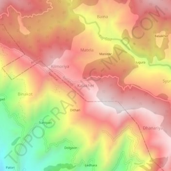
Name: Kalakhet topographic map, elevation, terrain.
Location: Kalakhet, Ranikhet, Almora, Uttarakhand, 263663, India (29.57479 79.34253 29.61479 79.38253)
Average elevation: 1,612 m
Minimum elevation: 997 m
Maximum elevation: 1,988 m