
La Léchère topographic map
Interactive map
Click on the map to display elevation.
About this map
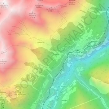
Name: La Léchère topographic map, elevation, terrain.
Location: La Léchère, Finhaut, Saint-Maurice, Valais, 1925, Suisse (46.06076 6.94448 46.10076 6.98448)
Average elevation: 1,704 m
Minimum elevation: 840 m
Maximum elevation: 2,690 m