
Thank you for supporting this site ❤️
Make a donation
Make a donation
Bentonville topographic map
Click on the map to display elevation.
Thank you for supporting this site ❤️
Make a donation
Make a donation
Bentonville
It lies along County Road 700N northwest of the city of Connersville, the county seat of Fayette County. Its elevation is 1,060 feet (323 m), and it is located at 39°44′43″N 85°11′39″W / 39.74528°N 85.19417°W / 39.74528; -85.19417 (39.7453242, -85.1941317).
Thank you for supporting this site ❤️
Make a donation
Make a donation
About this map
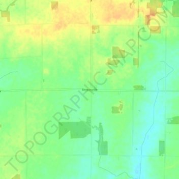
Name: Bentonville topographic map, elevation, terrain.
Location: Bentonville, Fayette County, Indiana, 47322, United States (39.72515 -85.26388 39.76515 -85.22388)
Average elevation: 323 m
Minimum elevation: 306 m
Maximum elevation: 342 m
Thank you for supporting this site ❤️
Make a donation
Make a donation