
Slamet topographic map
Interactive map
Click on the map to display elevation.
About this map
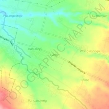
Name: Slamet topographic map, elevation, terrain.
Location: Slamet, Malang, Ost-Java, 65138, Indonesien (-8.01336 112.69889 -7.97336 112.73889)
Average elevation: 505 m
Minimum elevation: 454 m
Maximum elevation: 568 m