
Demsa topographic map
Interactive map
Click on the map to display elevation.
About this map
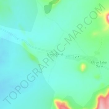
Name: Demsa topographic map, elevation, terrain.
Location: Demsa, Bénoué, North, Cameroon (9.50436 13.24114 9.54436 13.28114)
Average elevation: 324 m
Minimum elevation: 285 m
Maximum elevation: 481 m