
Durham topographic map
Click on the map to display elevation.
About this map
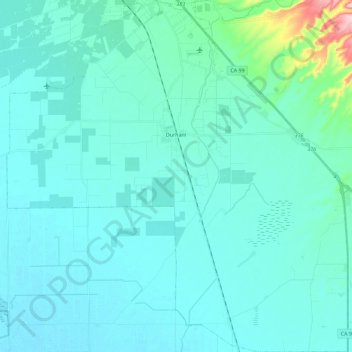
Name: Durham topographic map, elevation, terrain.
Location: Durham, Butte County, California, United States (39.53743 -121.90990 39.71326 -121.68870)
Average elevation: 51 m
Minimum elevation: 28 m
Maximum elevation: 252 m