
Sugar Land topographic map
Interactive map
Click on the map to display elevation.
About this map
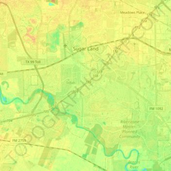
Name: Sugar Land topographic map, elevation, terrain.
Location: Sugar Land, Fort Bend County, Texas, États-Unis d'Amérique (29.51253 -95.69791 29.66199 -95.58048)
Average elevation: 24 m
Minimum elevation: 8 m
Maximum elevation: 33 m