
Douera topographic map
Interactive map
Click on the map to display elevation.
About this map
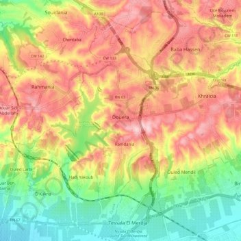
Name: Douera topographic map, elevation, terrain.
Location: Douera, Daïra Draria, Alger, Algérie (36.62985 2.87789 36.70642 2.98837)
Average elevation: 127 m
Minimum elevation: 21 m
Maximum elevation: 226 m