
Tigharry topographic map
Click on the map to display elevation.
About this map
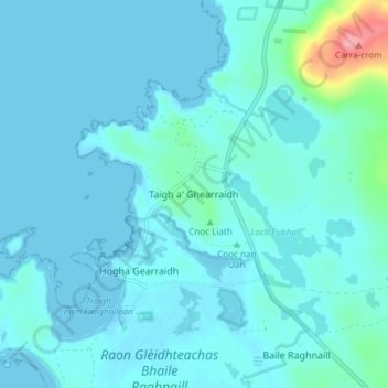
Name: Tigharry topographic map, elevation, terrain.
Location: Tigharry, Western Isles, Scotland, HS6 5DE, United Kingdom (57.59718 -7.52476 57.63718 -7.48476)
Average elevation: 11 m
Minimum elevation: -1 m
Maximum elevation: 112 m