
Raley Ford topographic map
Interactive map
Click on the map to display elevation.
About this map
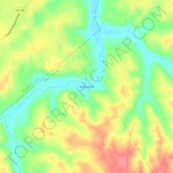
Name: Raley Ford topographic map, elevation, terrain.
Location: Raley Ford, Allen County, Kentucky, United States of America (36.83977 -86.28721 36.87977 -86.24721)
Average elevation: 183 m
Minimum elevation: 144 m
Maximum elevation: 226 m