
Thank you for supporting this site ❤️
Make a donation
Make a donation
Kembang Seri Baru topographic map
Click on the map to display elevation.
Thank you for supporting this site ❤️
Make a donation
Make a donation
About this map
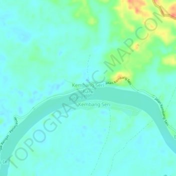
Name: Kembang Seri Baru topographic map, elevation, terrain.
Location: Kembang Seri Baru, Batanghari, Jambi, Sumatra, Indonesia (-1.65725 102.81140 -1.61725 102.85140)
Average elevation: 31 m
Minimum elevation: 19 m
Maximum elevation: 73 m
Thank you for supporting this site ❤️
Make a donation
Make a donation
Other topographic maps
Click on a map to view its topography, its elevation and its terrain.