
Thank you for supporting this site ❤️
Make a donation
Make a donation
Al Hurban topographic map
Click on the map to display elevation.
Thank you for supporting this site ❤️
Make a donation
Make a donation
About this map
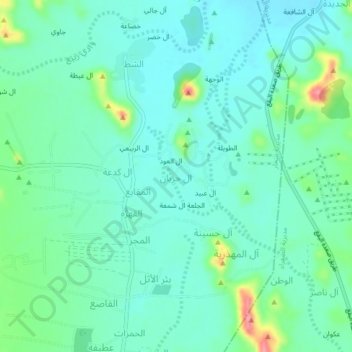
Name: Al Hurban topographic map, elevation, terrain.
Location: Al Hurban, Sahar district, Sa'dah Governorate, Yemen (16.98552 43.75878 17.02552 43.79878)
Average elevation: 1,846 m
Minimum elevation: 1,824 m
Maximum elevation: 1,918 m
Thank you for supporting this site ❤️
Make a donation
Make a donation
Other topographic maps
Click on a map to view its topography, its elevation and its terrain.