
Thank you for supporting this site ❤️
Make a donation
Make a donation
Houston topographic map
Click on the map to display elevation.
Thank you for supporting this site ❤️
Make a donation
Make a donation
Houston
The Houston Hikers' Society provides website where trail information, maps, photos and driving directions can be accessed. The Morice Mountain Nordic Ski Club is a volunteer non-profit society. The MMNSC is responsible for all developments and trail grooming as well as maintenance of the facilities, and for trail users' fee collections. The ski trails are situated 8 km (5 mi) south of Houston on Buck Flats Road. Skiing enthusiasts are able to explore over 45 km (28 mi) of challenging and beginner trails covering a rolling topography around Silverthorne Lake.
Thank you for supporting this site ❤️
Make a donation
Make a donation
About this map
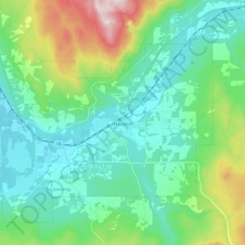
Name: Houston topographic map, elevation, terrain.
Average elevation: 728 m
Minimum elevation: 574 m
Maximum elevation: 1,235 m
Thank you for supporting this site ❤️
Make a donation
Make a donation