
Savin Hill topographic map
Interactive map
Click on the map to display elevation.
About this map
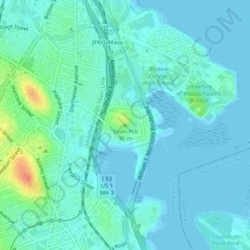
Name: Savin Hill topographic map, elevation, terrain.
Average elevation: 8 m
Minimum elevation: -1 m
Maximum elevation: 43 m
Other topographic maps
Click on a map to view its topography, its elevation and its terrain.
Nashua Street Park
United States of America > Massachusetts > Boston
Nashua Street Park, Dock Square, West End, Boston, Suffolk County, Massachusetts, United States of America
Average elevation: 9 m