
Thank you for supporting this site ❤️
Make a donation
Make a donation
Las Majadillas topographic map
Click on the map to display elevation.
Thank you for supporting this site ❤️
Make a donation
Make a donation
About this map
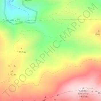
Name: Las Majadillas topographic map, elevation, terrain.
Location: Las Majadillas, Sotalbo, Ávila, Castilla y León, España (40.48035 -4.94786 40.50035 -4.92786)
Average elevation: 1,695 m
Minimum elevation: 1,409 m
Maximum elevation: 1,960 m
Thank you for supporting this site ❤️
Make a donation
Make a donation