
Paal topographic map
Interactive map
Click on the map to display elevation.
About this map
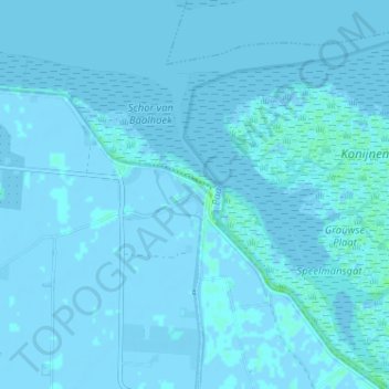
Name: Paal topographic map, elevation, terrain.
Location: Paal, Graauw, Hulst, Zeeland, Nederland, 4569 TG, Nederland (51.33343 4.08725 51.37343 4.12725)
Average elevation: 0 m
Minimum elevation: -4 m
Maximum elevation: 5 m
Other topographic maps
Click on a map to view its topography, its elevation and its terrain.