
Highworth topographic map
Interactive map
Click on the map to display elevation.
About this map
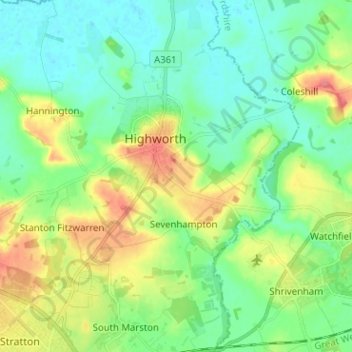
Name: Highworth topographic map, elevation, terrain.
Location: Highworth, Swindon, England, Vereinigtes Königreich (51.58439 -1.74025 51.66311 -1.65997)
Average elevation: 97 m
Minimum elevation: 73 m
Maximum elevation: 146 m