
Thank you for supporting this site ❤️
Make a donation
Make a donation
Prempura topographic map
Click on the map to display elevation.
Thank you for supporting this site ❤️
Make a donation
Make a donation
About this map
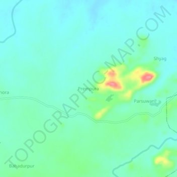
Name: Prempura topographic map, elevation, terrain.
Location: Prempura, Tikamgarh Tahsil, Tikamgarh, Madhya Pradesh, India (24.72675 78.92798 24.76675 78.96798)
Average elevation: 326 m
Minimum elevation: 306 m
Maximum elevation: 402 m
Thank you for supporting this site ❤️
Make a donation
Make a donation
Other topographic maps
Click on a map to view its topography, its elevation and its terrain.